From the Ferry
Photo credit: Linda Mushanski (Navyguider)
Named after a very well known Saskatchewan politician, a driving tour around this large man-made lake yields some scenic views, interesting cache locations and some great nature walks. A full day of driving, you can access the tour from many points with lots of side trips depending on what you would like to do.
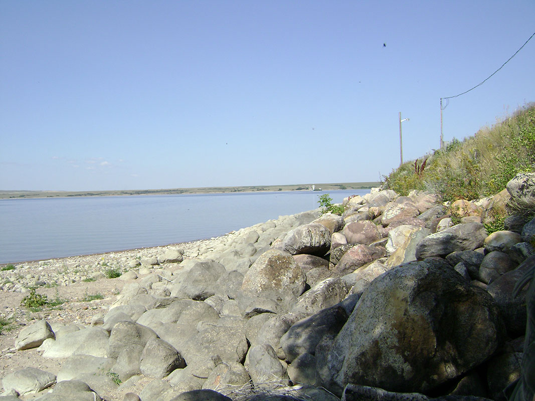
The largest body of water in southern part of the province, Diefenbaker Lake is a reservoir and bifurcation lake formed with the construction of two earth filled dams; the Gardiner Dam across the South Saskatchewan River to the north, and the Qu’Appelle Dam across the Qu’Appelle River to the south. The lake is 224 kilometres (140 miles) long and has over 800 km of shoreline. It is known not only for its great boating and sailing but also its fishing, being home to 26 native and stocked fish species. The sandy hills that surround the lake are constantly being eroded, making for some breathtaking views and topography. The Lake itself provides water for domestic irrigation and town water supplies. It regulates the flow of the two rivers as prior to the dam’s construction, high water on the South Saskatchewan would frequently cause dangerous ice conditions downstream in Saskatoon while in the summer the Qu’Appelle would frequently dry up.
Near Elbow
Photo Credit: Linda Mushanski (Navyguider)
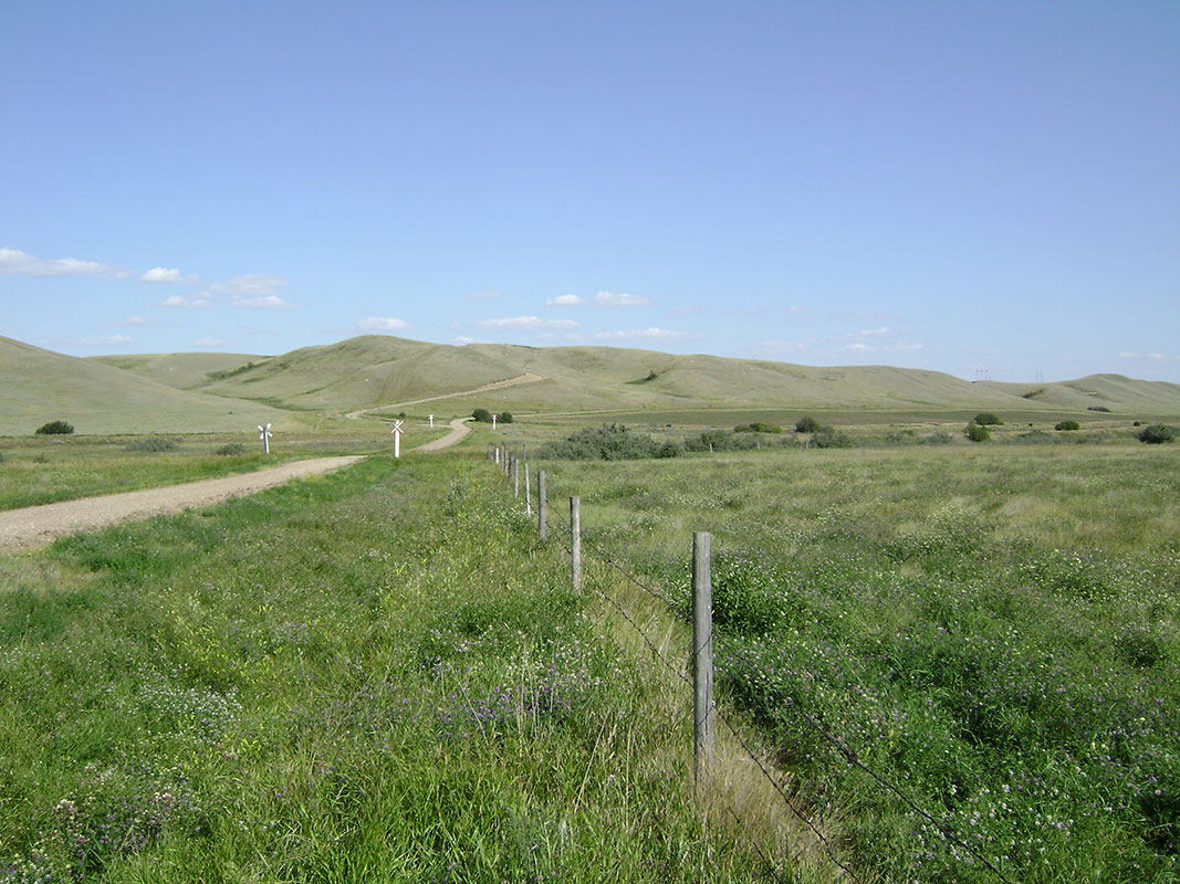
Starting at Central Butte, this is a great place to ensure you have a full tank of gas. Stations are not very plentiful along here like a lot of Saskatchewan back highways. Going west from there, you come to Riverhurst. A little side trip will take you to GC1D9V3 “Divine View”, a cache that is not only an interesting location but also gives you a breathtaking view of the lake. Going back to the highway will give you the options of making a quick visit to Palliser Regional Park you can decide to go across on the free ferry.
Once you get across, you can go west to Beechy and visit the Sunken Hill and Sandcastles by the Prairie Lake Regional Park, or you can take highway 373 and and a trip down a gravel road to take you to Hitchcock Bay. GC4MMVA “SAS#14: Camp Rayner” located on the east side, is part of the Saskatchewan Archaeological Society series featured in an earlier post. The grid roads will take you back to Birsay where you will connect with Highway 45. Travelling north gives you a chance to visit a real Saskatchewan ghost town at GC1TFCP “Welcome to Lyons” and nearby GC1TFEN “Tichfield Junction” for some local history.
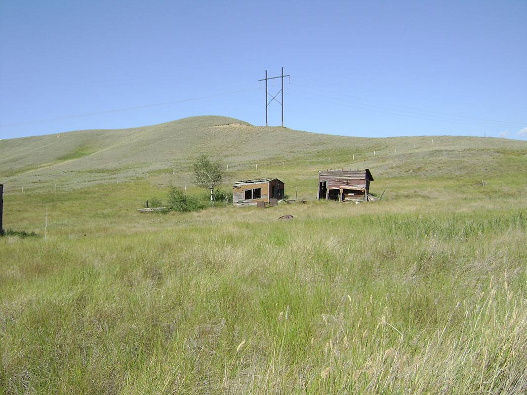
Near Lyons
Photo Credit: Linda Mushanski (Navyguider)
Here you meet up with Highway 44 and turning to the east, you cross the Gardiner Dam. Stop at the visitor centre and learn of this engineering wonder. Sixty-four meters (209 feet) high and almost 5km (3.1 mi) wide, it is the third largest embankment dam in Canada and one of the largest in the world. The base is 1.5 km wide and has over 65,000,000 cubic meters of dirt making up the dam. An integrated power generating plant, the Coteau Creek Hydroelectric Station produces a net of 186MW of electricity from three generators.
Once across the dam, follow the highway south past Danielson Park. Turning south on Highway 19 will take you to Elbow where you can see the large sailboats tied up in the marina and enjoy some great ice cream. Further south is Douglas Provincial Park. A main feature here is a 30 metre (100 foot) sand dune that stretches for more than a kilometre and the Dunes Interpretive Centre where you can visit active sand dunes and see lots of wildlife. The lake side of the park has some great water-based recreational activities and a portion of the Trans Canada Trail.


