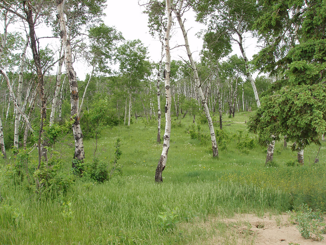
Nisbet Forest
Photo credit: Alex Paul
Come and check out the miles upon miles of trails that snake through the Nisbet Provincial Forest!
These wonderful trails can be found 18 km north of Duck Lake and are home to 2 Living Skies satellite events.
Take note that these trails may only be accessed on foot!
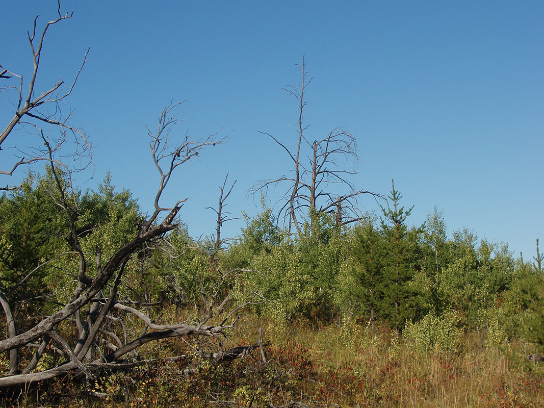
Remnants of a Past Fire
Photo credit: Alex Paul
These trails began in the mid 1700’s when fur trading and trapping was being done in the area. Settlers and the commercial logging industry right up to the mid 1970’s continued to make new trails.
Today, firefighting operations may necessitate the creation of new trails or fire breaks, but aside from that, no new roads are allowed to be made in this forest. The forest is utilized by a wide variety of people today, which maintain many of these existing trails, however the forest consumes and erases traces of past trails with each passing year.
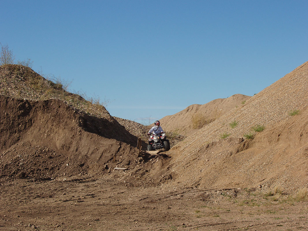
Gravel Pits Near Lilly Plain
Photo credit: Alex Paul
In winter you will find cross country skiing and snowmobile trails in many areas. In summer you can find hikers, and people on ATVs, dirtbikes, horseback, and in 4x4s. There are several small lakes where you may find campers, canoeing, picnicking and nature interpretation. Permits are issued for individuals to harvest timber, and you will find berry pickers and yes even geocachers!
There are a number of caches (23 at the time of writing) located along “Eb’s Trails”, which are located in the Nisbet Forest, 18 km north of Duck Lake along Highway 11. A good starting point if you are coming from Rosthern would be GC1DHDW . Of course, the satellite events Hiking Nisbet Forest and Night Wanderings will be taking place here as well.
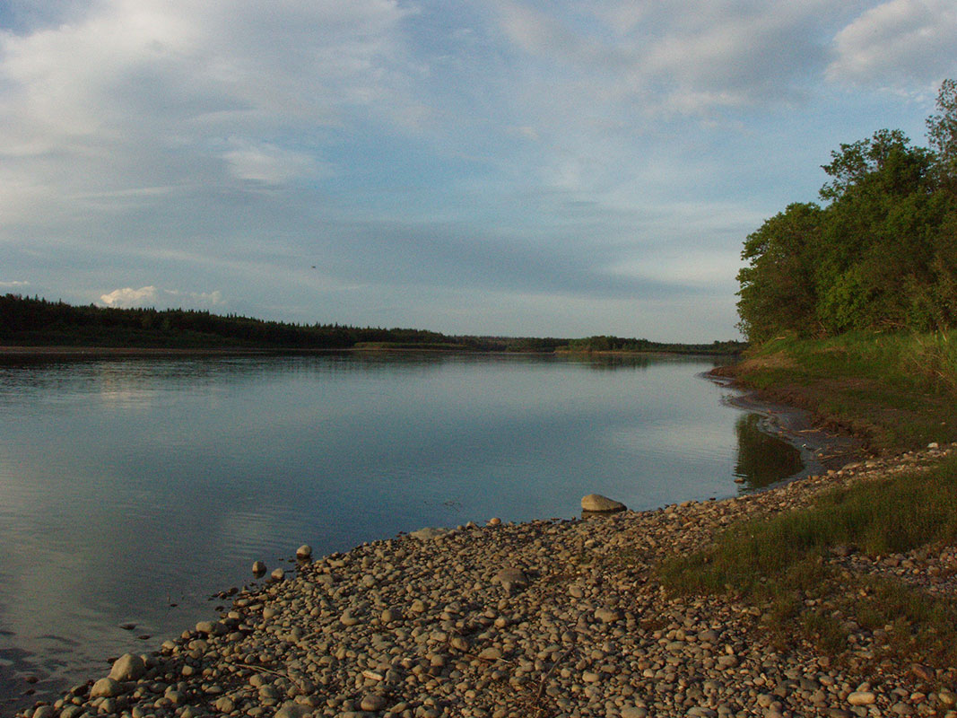
North Saskatchewan River
Photo credit: Alex Paul
Today’s trails were started in 1977 with the permission of the Department of Tourism & Renewable Resources. The trails have been expanded and improved since then, and there are now cabins, toilets, and signs associated with the trails, which are maintained by the Saskatoon Nordic Ski Club. There have been problems related to the extensive use of the developed ski trails by ATV users, so we would remind anyone attempting these caches during Living Skies 2014, to remember that this area must be accessed by hiking only during the summer.

The Last Saskatchewan Pirate – Lobstick lake
Photo credit: Alex Paul
In the mid 1980’s permits were issued to the Duck Lake Métis Society to build log cabins in the MacDowall Block as a training exercise. Although dispositions for the six cabins have expired long ago, the cabins remained, and they are often used by winter re-creationists as warm-up shacks. Horse Lake Cabin has been burned down, presumably by vandals. Pines Cabin has been relocated to St. Paul’s Cemetery and restored. (It can be seen when at geocache GC2EJT9) and the remaining four cabins can be found along the trails in the Nisbet Forrest.
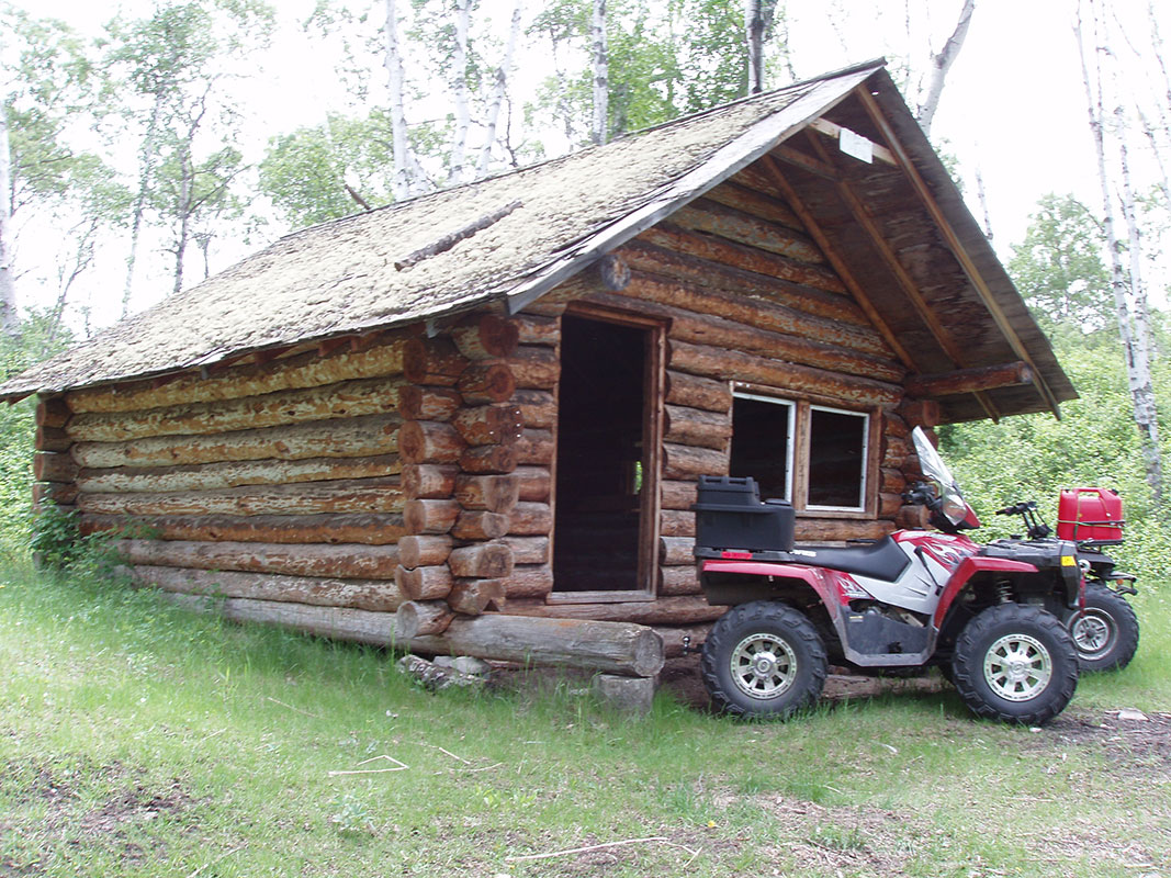
Birch Cabin
Photo credit: Alex Paul
If you are interested in seeing two of these cabins, check out GC1E4BR as the multi-cache will lead you past Spruce Cabin and Birch Cabin. Be sure to read the full description because you will not be able to drive a road vehicle in this area. Roddick Cabin can be viewed from this cache (GCP84C) and should be easily accessible during dry road conditions.
A bit of history surrounding the forest:
The forest’s current boundary was formed by joining the Pines Forest Reserve, the Nisbet Forest Reserve and lastly the Steep Creek Block was added in 1974. The present forest area is 83,436 hectares (approximately 325 square miles), which includes 1,962 hectares for recreation sites and 56 hectares for a protected site.
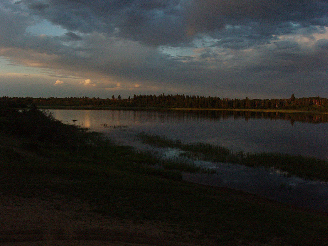
Lobstick Lake
Photo credit: Alex Paul
The MacDowall Bog Protected Site is approximately 56 hectares in size, and is located about 7.5 kilometres southwest of MacDowall. It was established as a protected area in 1998 under the Parks Act. The site is given the protection of a park, and is to be used primarily for the protection and preservation of the significant natural resources within it. The vegetation of the site is its most significant attribute, as it has large numbers of rare plant species and a variety of orchids.
Both the Nisbet Trails Recreation Site and the Sturgeon River Recreation Site are administered under The Parks Act, and are located west of Prince Albert near the Sturgeon (Shell) River. The Nisbet Trails Recreation Site is 1,868 hectares, and the Sturgeon River Recreation Site is 94 hectares in size.
- Map of Eb’s Trails
- Satellite Event GC55VNN – Living Skies – Hiking Nisbet Forest
- Satellite Event GC54ADC – Living Skies – Night Wanderings
Map of Rosthern to the Nisbet Forest:


